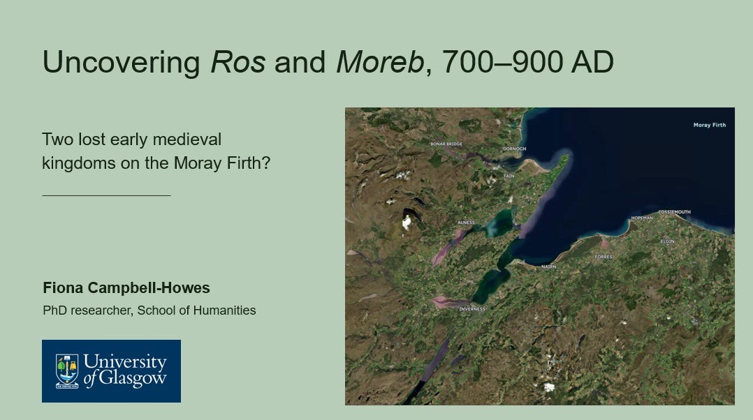
Uncovering Ros and Moreb: A talk for NOSAS
In which I present the findings of my MA research in a 60-minute talk
Just a quick post this time to let you know about a talk I gave to the North of Scotland Archaeological Society (NOSAS) on Thursday night, and which is now on YouTube.
When James McComas of NOSAS invited me to speak back in March, I offered to give a talk about early medieval Nairnshire (now my PhD research topic).
But in the intervening months my research took an exciting new direction. It seemed to point to the existence of two small polities in the Moray Firthlands in the late first millennium (c. 700-900), called Ros and Moreb, ancestors of modern Ross and Moray.
These two polities—whether they were kingdoms, subkingdoms or perhaps early dioceses—seem to flourish in the eighth century, before being caught up in successive waves of Norse raiding, settling and expansion in the ninth.
Uncovering Ros and Moreb
I eventually wrote this research up into my MA dissertation, and presented the main findings to NOSAS on Thursday. The talk also includes a couple of things I’ve discovered since submitting my diss, which seem to add further weight to the idea.
The video is below (click to watch it on YouTube if you’re reading this on email).
I think there’s something exciting here, but the evidence is fragmented across different source types (texts, place-names, sculpture, archaeology, iconography, landscape, objects, inscriptions) and others may see it very differently from me.
So if you do watch it, I’d be very interested to hear your thoughts, objections, corrections - basically feedback of any sort!
Thanks for reading/watching and I’ll be back with a longer post soon - looking at Adomnán’s descriptions of the Inverness area in the Life of Columba, and at whether we can use this as historical evidence for the Firthlands (and if so, for whose time period: Columba’s or Adomnán’s).


Just one word: Wow!
Fascinating as ever! The Pictish stone at Edderton could also perhaps be a Moreb boundary marker? Living in Cromarty, I am always confused (and disappointed too!) that we don't have our own large Sculptured Stone, but your thesis of a boundary running through the Cromarty Firth could explain why we don't (unless it is in the later medieval church foundations or lost to the sea). Looking at the 'visibility arcs' of the Easter Ross sculptured stones, they certainly show Easter Ross pointing towards Moray, whereas a large Stone on eg the South Sutor would have added another large visibility arc into the Moray Firth if Ros and Moreb were part of the same polity. Having two substantial monasteries (Rosemarkie and Portmahomack) quite close together does beg the question of why, but if they are the ecclesiastical centres of different polities, that adds weight to your proposed areas for the two polities. If 'cill names' reflect an early gaelic influence in Ros, is there any significant equivalent church placename distribution in Moreb? And if Ros and Moreb DID have an alliance in the 880/890s to defeat the Norse, I wonder how long it lasted and if it established/reinforced/stabilised/informed the norse southern fringe through the black isle (going on place names) rather than the norse pressing further south? So many rabbit holes and I look forward to more!